- The 3,211 feet tall Angel Falls of Venezuela is the tallest uninterrupted waterfall in the world.
- Venezuela hosts the second largest tar pit in the world. It is called Lake Bermudez or Lake Guanoco.
- The Catatumbo lightning is a phenomenon that occurs over marshlands existing at the mouth of the Catatumbo River as it drains into the Lake Maracaibo.
Angel Falls

The 3,211 feet tall Angel Falls is the tallest uninterrupted waterfall in the world. The waterfall can be seen in the Canaima National Park in the Bolívar State of the country. The waterfall, a part of the Rio Kerepacupai Meru river, plunges down from the edge of the Auyán-tepui mountain. The total height of the Angel Falls includes the main drop, the 1,300 feet rapids, the sloped cascade at the bottom of the main drop, and a 98 feet high plunge downstream of the talus rapids. Every year, thousands of tourists from all corners of the globe visit Venezuela to catch a glimpse of the fall. It is thus a very important natural attraction in the country.
The Guácharo Cave

The Guácharo Cave is a massive limestone cave that is part of the national park bearing its name. It is located in Monagas close to the town of Caripe. The cave is more than 10 km long. It has numerous spectacular rock formations and is home to the fruit-eating oilbirds. Every evening at dusk, great flocks of these birds exit the cave. Many tourists wait at the site to watch this interesting phenomenon. The Guácharo Cave National Park protects this cave and its surrounding forests. The park was established in 1975. 367 species of birds thrive in the area including several endangered species like the Venezuelan flowerpiercer.
Cerro Sarisariñama
A flat-topped mountain or tepui, the Cerro Sarisariñama is unique in many aspects. It is located in the Bolívar State state of Venezuela with an elevation between 980 feet and 7,710 feet. The summit area of the tepui is 546.88 square km. It is one of the country’s most remote locations with the nearest paved road being miles away. The name of the tepui is related to a chilling legend of the local native populations. It refers to an evil spirit that resides in the tepui’s caves and devours humans with a sound “Sari… sari…”. Unlike other tepuis, the Cerro Sarisariñama is covered by a dense forest at the top and hosts many endemic species of flora and fauna. Another interesting feature of the tepui is the presence of sinkholes on it. There are four known sinkholes in the area and the floor of each sinkhole is covered by isolated forests. The tepui is an exciting exploration destination that is currently accessible only to scientific researchers.
Los Roques Archipelago

The archipelago of Los Roques is made up of over 350 cays, islets, and islands that encompass an area of 40.61 square km. The Los Roques National Park was established in the area in 1972 to protect the rich diversity of marine flora and fauna in the archipelago. Human settlements in the archipelago are sparse but it receives thousands of visitors every year. The tourists who visit enjoy snorkeling, diving, birding, windsurfing, and other activities.
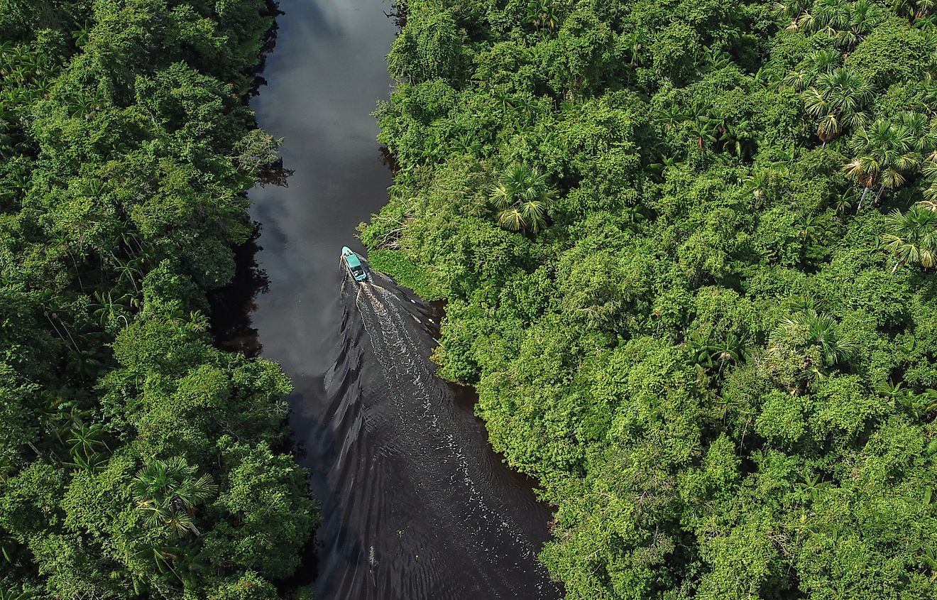
The Orinoco Delta

The Orinoco Delta is a massive delta region of the Orinoco River in eastern Venezuela. The delta covers the entire Delta Amacuro State and parts of the Sucre and Monagas states of the country. The fan-shaped delta is formed as the Orinoco splits into numerous distributaries which end in the sea. The Rio Grande is one of the biggest distributaries of the river. Large parts of the delta are covered by permanent wetlands and freshwater swamp forests as well as mangroves.
Lake Guanoco
Venezuela hosts the second largest tar pit in the world. It is called Lake Bermudez or Lake Guanoco. It is located in the Venezuelan state of Estado Sucre. The lake occupies an area of 1,100 acres and has a depth ranging from 4.9 feet to 6.6 feet. The lake holds about 6,000,000 tons of asphalt. It was used as a commercial source of asphalt for a considerable period from 1891 to 1935.
Pico Bolívar

Named after Simon Bolívar, the popular freedom fighter of Venezuela, the Pico Bolívar is the country’s highest mountain. It has an elevation of 16,332 feet. The mountain is located in the Mérida State. It remains permanently covered with snow and hosts three glaciers. The summit of the mountain can be accessed by climbing to the top.
Blanquilla Island

Blanquilla Island is a fan-shaped island located in the southeastern Caribbean Sea. It is a favorite destination for those who love nature and solitude. It derives its name from its milky white beaches. La Blanquilla offers excellent diving and snorkeling opportunities. The marine life in the region is highly diverse. The island is also famous for the rare black coral that is used to produce jewelry and other crafts. Colorful birds, iguanas, wild donkeys, and other fauna can be seen on the terrestrial habitat of the island.
Waraira Repano National Park

This national park is located in the central part of the Cordillera de la Costa Central mountain range. The highest point in the park is at an elevation of 9,072 feet above sea-level. A great diversity of flora and fauna lives in the park. There are about 120 species of mammals, 30 reptilian species, 500 species of birds, more than 100 butterfly species, 20 amphibian species, etc., living in the Waraira Repano National Park. The park has a dense network of trails for outdoor enthusiasts.
Catatumbo Lightning

The Catatumbo lightning is a phenomenon that occurs over marshlands existing at the mouth of the Catatumbo River as it drains into the Lake Maracaibo. Every night, lightning storms happen for nearly 10 hours. The area thus experiences about 1.2 million lightning discharges every year. The lightning there is so strong that ships often use it as a signal for navigation. The lightning flashes can be seen as far away as 40 km from the site.